___________
CAP Director of Operations John Desmarais said two CAP Cessnas were outfitted with XCAM Ultra50 camera pods developed by WaldoAir Corp., a Franklin, Tennessee-based company. The camera pods were previously tested on two CAP planes during the Hurricane Florence response in the Carolinas, where they collected imagery with the advanced imaging sensor, which is then processed into high-resolution (1-inch ground sample distance) 3-D models.
FEMA’s request for the Michael missions has been for WaldoAir’s 3D mesh product, which provides volumetric measurements of debris piles and integration of resulting digital elevation models into flood modeling.
The imagery collected may also be used to supplement National Insurance Crime Bureau files.CAP aircrews using the camera pods, under agreement with WaldoAir, have been tasked with surveying heavily damaged Mexico Beach as well as the Port St. Joe and Marianna areas of the Panhandle that Michael impacted.
After their initial flights on Oct. 18, the aircrews have continued their image collections over the same areas and will do so through Nov. 16.
After their initial flights on Oct. 18, the aircrews have continued their image collections over the same areas and will do so through Nov. 16.
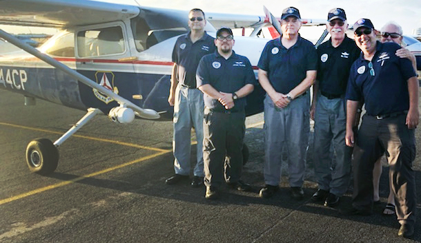
Mission pilots Lt. Col. Ande Boyer and Maj. Deming Gray, two of the four Tennessee Wing aircrew members deployed for the Florence response, helped train the Florida Wing members in the use of the WaldoAir system. And there are plans in place to train additional CAP members from Alabama and Georgia in operating the system over the next three weeks as the mission continues.
Boyer said the WaldoAir system is “the highest-quality and most user-friendly total package imaging and image-processing system that I’ve ever seen.” The enhancements “make sortie planning and execution a piece of cake,” he said.


